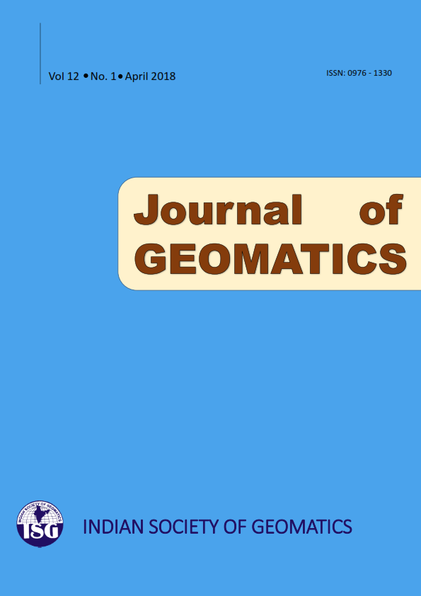
(Address for Correspondence: Group Director, Geosciences, Hydrology, Cryosphere Sciences & Applications Group, Space Applications
Centre, ISRO, Ahmedabad – 380 015, India)
Phone: +91-79-26914018 (O), +91-79-29795665 (R), Email: asrajawat@sac.isro.gov.in, editorjogisg@gmail.com
1. Performance enhancement of Rational Function Model (RFM) for improved geoposition accuracy of IKONOS stereo satellite imagery
T. M. Saleh, M. I. Zahran, A. R. El-Sheaby and M. S. Gomaa
2. Adjustment of DGPS data using artificial intelligence and classical least square techniques
I. Yakubu, Y.Y. Ziggah and M. S. Peprah
3. A comparative analysis of the performance of GNSS permanent receivers at the Centre for Geodesy and Geodynamics, Nigeria
O. A. Isioye, M. Moses, F. M. Isa and M. Bojude
4. Evaluation of the performance of the fused product of Hyperion and RapidEye red edge bands in the context of classification accuracy
R. Anilkumar, D. Chutia, J. Goswami, V. Sharma and P. L. N. Raju
5. Quantification of agricultural landuse during Kharif and Rabi season of Datia district, Madhya Pradesh, India
P. S. Rajpoot, A. Kumar and S. Goyal
6. Application of GIS technology to geospatial location of Lagos State fire stations, Nigeria
O. G. Omogunloye, B. E. Otavboruo, O. E. Abiodun, O. A. Olunlade and E. G. Emesiani
7. Development of WebGIS based Information System: A case study of energy sector
S. Chhugani, S. Mishra, G. Jain, S. Suthar and P. Shah
8. Comparative analysis of object based and pixel based classification for mapping of mango orchards in Sitapur district of Uttar Pradesh
S. Roy, R. More, M. M. Kimothi, S. Mamatha, S. P Vyas and S. S. Ray
9. Geospatial assessment on the occurrences of erosion and pattern of channel migration of river Brahmaputra along the Majuli Island of Assam
J. Goswami, D. Chutia, S. Singhania, M. Chutia, V. Sharma, C. Gupta and P. L. N. Raju
10. Accuracy assessment of free web-based online GPS Processing services and relative GPS solution software
K. M. A. Aziz
